
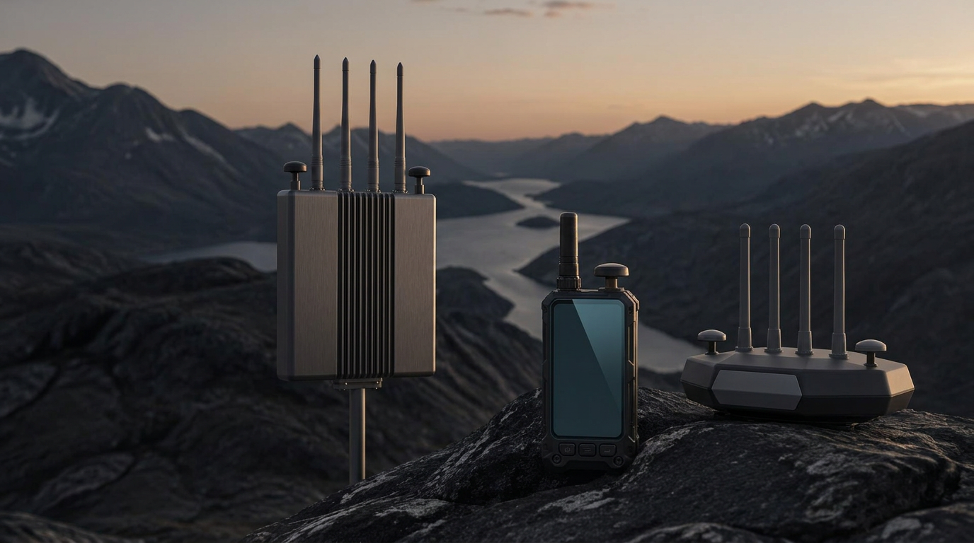
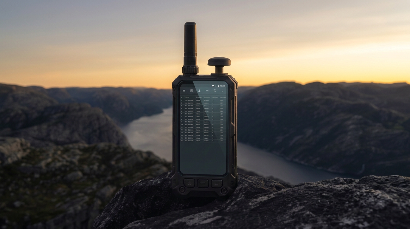
Mobile and stationary RF detectors overlooking a mountain valley
NEXT-GENERATION AIRSPACE AWARENESS

NEMESIS
RF DETECTION.

See the signal. Know what’s coming.
Ultra-wideband drone detection. Built for the real world.

COMMERCIAL RELEASE / EST. DELIVERY END OF 2027 / AI RENDERING FROM CURRENT PROTOTYPE
DETECTION WITHOUT COMPROMISE01 / OVERVIEW
70 MHz – 6 GHz

WIDEBAND SDR TUNING RANGE

10 bands

DRONE BANDS SWEPT · 320 MHz – 5.9 GHz

Remote ID

WI-FI · BLUETOOTH · DJI DRONEID

Up to 5 km

STATIONARY DETECTION RANGE

01 / THE SYSTEMS

THE NEMESIS FAMILY.
ONE CLEAR ADVANTAGE.

Handheld, fixed node and vehicle-mounted detection.
Choose the system that fits your operation.

01 / BODY-WORNNemesis Handheld concept hardwareUP TO 2 KM

Nemesis Handheld

AWARENESS. ON THE MOVE.

Wearable RF detection in a compact, body-worn walkie-talkie form factor, built on the same Nemesis detection core. Pairs with a Nemesis Node over Bluetooth mesh to report mobile detections into your site picture.

$499$799PRESALE / CAD
CONFIGURE
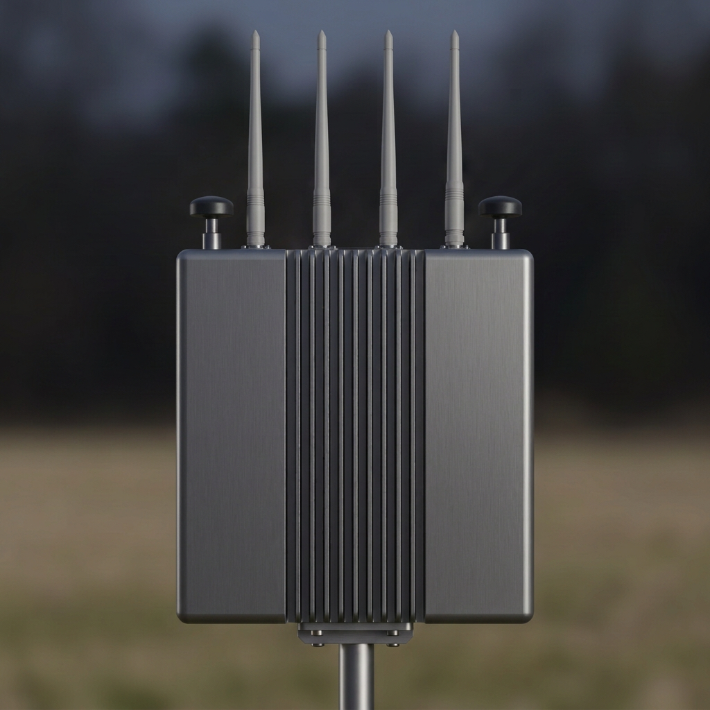
02 / FIXED INSTALLATIONNemesis Node concept hardwareUP TO 5 KM

Nemesis Node

YOUR PERIMETER. CONNECTED.

Fixed-mount outdoor detection node. Wi-Fi Remote ID, Bluetooth Remote ID and a wideband SDR run at once, and detection, alerts and the map dashboard all work with no internet. One PoE cable for power and data.

$2,500$3,000PRESALE / CAD
CONFIGURE
03 / VEHICLE MOUNT · COMING SOONNemesis-Mobile vehicle-mounted detector concept

Nemesis-Mobile

DETECTION AT SPEED.

Vehicle-mounted RF detection for mobile patrols and convoys. Pricing, range and delivery: to be announced.

Coming soonNOT YET IN PRESALE

Maximum RF detection ranges depend on conditions, signal strength, terrain, and installation. Product images are AI renderings produced from current prototypes. Final hardware may differ.

02 / SIGNAL INTELLIGENCE

THE FULL SPECTRUM.
A CLEARER PICTURE.

One detection core in every Nemesis model.
Three receivers, one picture.

WIDEBAND SDR · 70 MHz — 6 GHz 10 DRONE BANDS MONITORED
70 MHz1 GHz2 GHz3 GHz4 GHz5 GHz6 GHz
THREE RECEIVERS, RUNNING AT ONCEOFFLINE · RECEIVE-ONLY
01

Wi-Fi Remote ID

Hops 2.4 GHz and 5 GHz channels for Remote ID beacons and DJI DroneID.

Full cycle 3.6 s
02

Bluetooth Remote ID

Listens to Bluetooth LE advertising for Remote ID broadcasts.

Continuous scan
03

Wideband SDR

Sweeps all 10 drone bands and fingerprints the drone links it finds.

Full sweep 21.2 s
4-LAYER DETECTION PROCESSTELEMETRY · CONTROL · VIDEO
  1. 01SIGDBFingerprint

    Matches energy above the noise floor against the signature library by band, bandwidth, timing and cross-band correlation.

  2. 02AI/AMCNeural classifier

    An on-device neural network sorts modulation into 5 families and 23 types, and flags signals unlike anything it was trained on.

  3. 03STRUCTSignal structure

    Checks OFDM, DSSS, chirp spread spectrum and frequency hopping, with higher-order and cyclostationary statistics.

  4. 04FUSIONTarget profile

    Merges Wi-Fi, Bluetooth and SDR detections of the same emitter into one target with a persistent history.

Remote ID

Decodes Remote ID over Wi-Fi and Bluetooth: serial number, drone position, altitude, speed, heading and pilot position.

DJI DroneID

Identifies DJI drones that do not broadcast standard Remote ID, from DJI DroneID and hardware signatures.

RF fingerprinting

Recognises drone video, control and telemetry links, from DJI and Autel to analog FPV and long-range RC.

On-device AI

A neural network classifies modulation on the unit and flags novel signals, so new or modified links still stand out.

Direction finding

Estimates a bearing to the signal from two receive antennas.

Live map

Plots drone and pilot positions from Remote ID, with the last known position of every target.

False-alarm rejection

Gates out aircraft ADS-B on 1090 MHz and handles Wi-Fi collisions, so alerts stay meaningful.

Field updatable

New signatures and bands arrive as software updates. No hardware change needed.

JAMMING DETECTIONGPS · WI-FI · DRONE LINKS
01

GPS / GNSS

Dual GNSS receivers detect jamming and spoofing of the satellite navigation signals drones and sensors rely on.

02

Wi-Fi

Detects jamming across the 2.4 GHz and 5 GHz Wi-Fi bands.

03

Drone links

Detects jamming of drone telemetry, control and video feed transmissions.

Jamming detection flags interfering transmissions on the monitored bands. It does not neutralise jamming or defeat a jammer.

Remote ID and DJI DroneID require a compatible broadcast from the drone. RF fingerprinting identifies the link type; it does not decode video or telemetry content.

FULL SPECIFICATIONS
03 / MULTI-POINT AWARENESS

MORE NODES.
MORE PERSPECTIVE.

Several Nemesis Nodes merge into one de-duplicated site picture. Each Node estimates a bearing from its dual receive antennas, so bearings from multiple Nodes triangulate the signal. Paired Handhelds report mobile detections over Bluetooth mesh. Expand your installation with a 2, 3, or 4-node bundle.

$7,500PRESALE BUNDLE / CAD
CONFIGURE YOUR NETWORK

Bundle pricing is $2,500 per node. Geolocation performance depends on node placement, signal conditions, and deployment geometry.

RF SIGNAL
NODE 01
NODE 02
NODE 03
MULTI-POINT RF TRIANGULATION CONCEPT DIAGRAM
04 / TALOS DEFENCE INC. ECOSYSTEM

UPLINK.
EXTEND CAPABILITY.

Nemesis detectors can uplink to other TALOS Defence Inc.
products and solutions.

Multi-site cloud monitoring
Remote alerts
Trends
Evidence collection
Reports
Distributed monitoring
05 / USE CASES

BUILT FOR
REAL SITES.

From open farmland to entire cities.

Farmland

Monitor wide open fields, livestock and equipment yards against unwanted overflights.

Nemesis Nodes in mesh, Handheld for patrols

Private estate

Protect residents’ privacy with perimeter awareness around homes and grounds.

Nemesis Nodes plus paired Handheld

Event monitoring

Temporary airspace awareness for concerts, sports and public gatherings.

Nodes around venue, Handhelds for security staff

City-wide detection

Blanket a city with networked Nodes and feed drone alerts into smart city platforms, operations centres and first responders.

Nodes on city infrastructure, API and cloud uplink to smart city systems
ALL USE CASES
NEMESIS-CORE INTERFACE

WHAT THE NODE
SHOWS ITS OPERATOR.

The node console, captured on site.
Status, RF configuration and detection history.

All clear, at a glance

The node states whether anything is in the air right now, when a drone was last seen, and every event since — with a detection timeline you can step back through.

  • All-clear status with last-seen timer
  • Detection timeline from 15 minutes to 30 days
  • Event history with duration per episode
Nemesis Node interface basic view: all-clear status with last-seen time, detection timeline and event history
BASIC VIEWNEMESIS-CORE · FIELD INTERFACE

Captured from the Nemesis Node field interface on current development hardware. The interface is under active development and may change before delivery.

DEFENCE & LAW ENFORCEMENT

NEMESIS, RUGGEDIZED.

A future rugged version with improved specifications for defence and police procurement.

PROCUREMENT
EARLY REBATE PRICING · PRESALE OPEN

BE READY FOR
WHAT’S NEXT.

Secure early pricing for commercial release.
Full payment at checkout. Estimated delivery end of 2027.

BUILD YOUR PRESALE ORDER